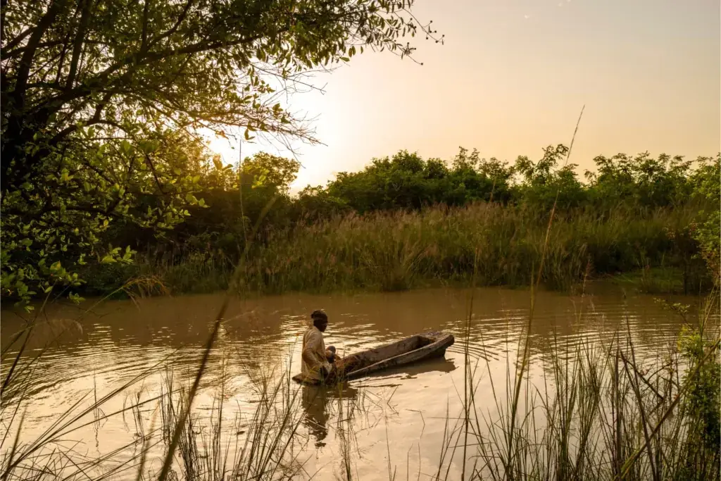
Heavy rainfall caused the River Dayi to overflow in Ghana's Volta Region in late September, flooding homes, displacing residents and disrupting transport. GDACS event FL 1104196 reports 3,346 people displaced across the 23–30 September event window and lists no deaths. The displaced figure is retained as a GDACS event-wide observation. No broader…
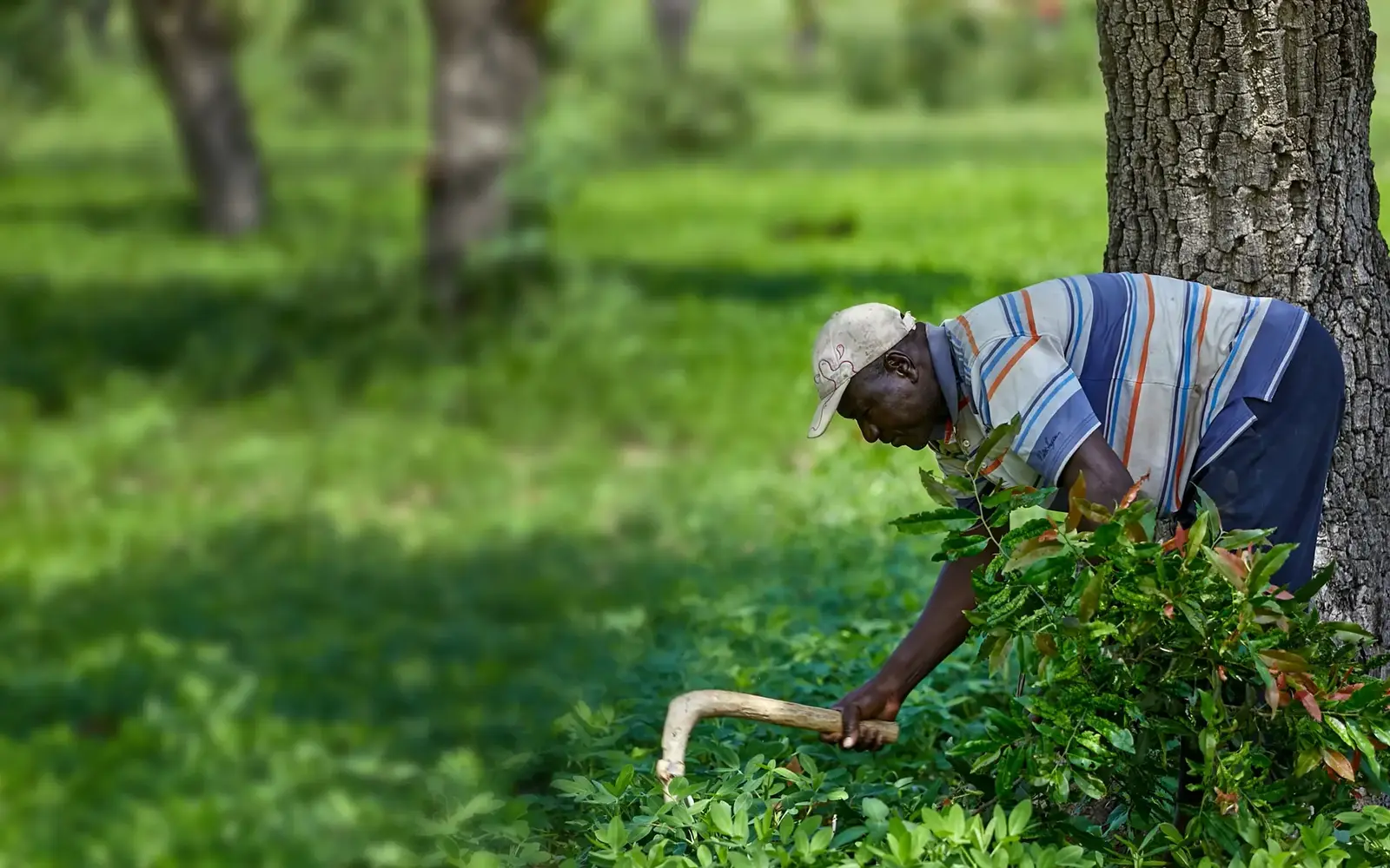
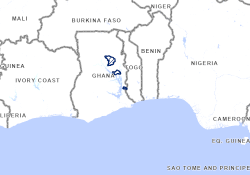
Tree Aid and Trees for All support communities to grow trees around water sources, reduce riverbank erosion and improve land fertility. Training and tree nurseries help communities manage the restored landscape. Location context: Bongo district and VEA Dam reservoir area, Ghana. The map shows country context, not an exact project site. Official…
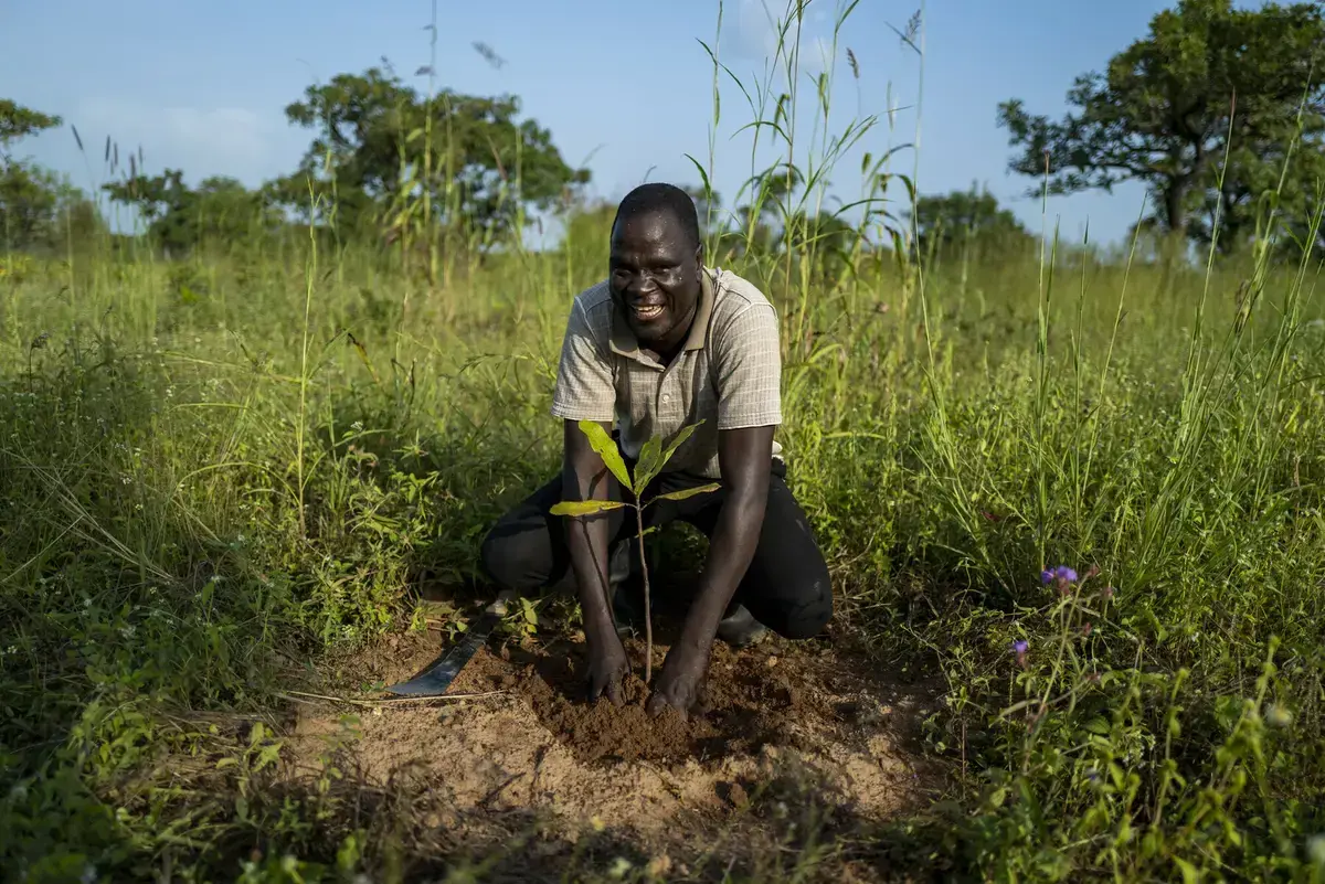
Ten communities combine tree planting, natural regeneration and climate-smart farming. Project aims include planting 100,000 trees, training farmers and establishing village tree enterprises and savings groups. Location context: Yendi, Northern Ghana. The map shows country context, not an exact project site. Official organisation source checked 6 October…
Communities restore degraded land through tree planting and assisted natural regeneration. The programme also supports nutrition gardens, tree-based livelihoods and healthier soil and water resources. Location context: Yendi and the Daka River landscape, Ghana. The map shows country context, not an exact project site. Official organisation source checked…
Damaging floods struck in Ghana‘s Upper West Region after recent heavy rainfall. Disaster authorities said over 1,605 people were affected and over 100 homes destroyed. Furthermore flooding caused severe damage to roads and bridges in the region, impacting livelihoods and leaving some communities cut off. Roads were de
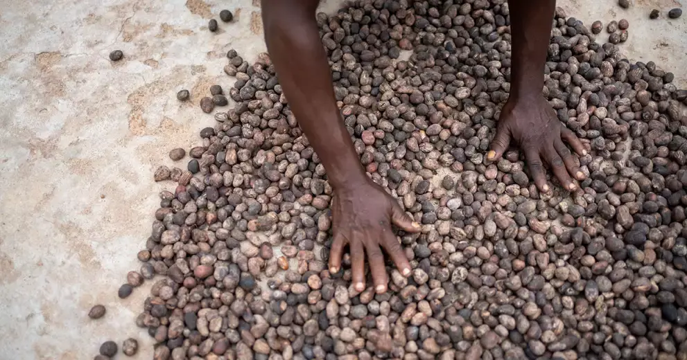
Part of Ghana’s Shea Emissions Reduction Project, this work combined land restoration, shea nurseries, women’s cooperatives and improved cookstoves. The official page dates the project from August 2022 to September 2025. Location context: Gushiegu, Mion and Yendi districts, Ghana. The map shows country context, not an exact project site. Official…
This completed four-year project supported sustainable farming, livelihoods and access to social protection. Tree Aid worked with civil society organisations and women’s groups to strengthen climate resilience and rural incomes. Location context: Northern and Upper East Ghana. The map shows country context, not an exact project site. Official…

 Ghana